Symposia
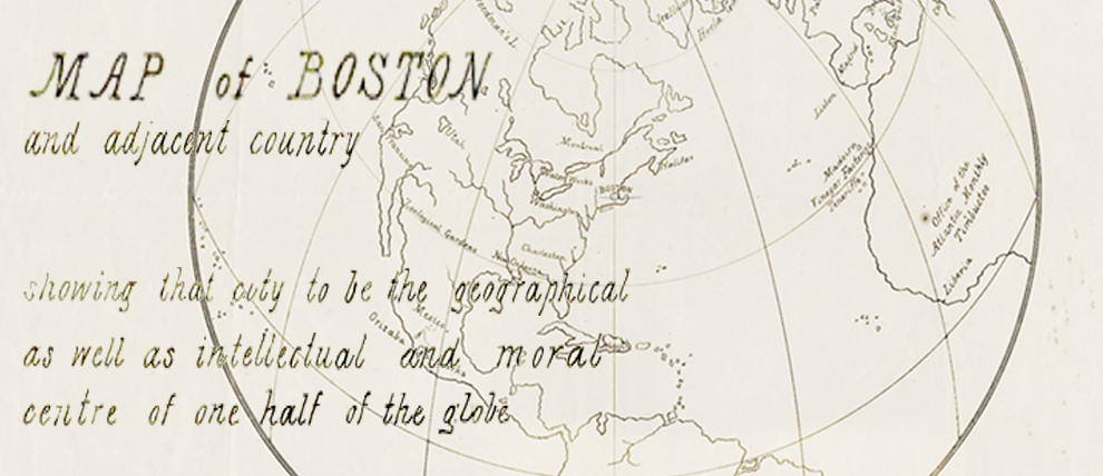
Boston’s Narrative: Revealing a City Through Maps
March 1st, 2016

Venue : Boston Society of Architects Space, Boston, MA
Co Sponsors:
CultureNOW
BSA Foundation
BSA Urban Design Committee
MODERATOR:
Alex Krieger, professor in practice of urban design, Harvard GSD
SPEAKERS:
Nancy S. Seasholes, Historian
Carlo Ratti, Director, MIT SENSEable City Laboratory
Ronald Grim, Curator, Boston Public Library Leventhal Map Collection
INTRODUCTIONS:
ABBY SUCKLE FAIA, President cultureNOW
Boston’s story is often told in part through its history of mapping. City maps reveal how the land is shaped and what values were important to the cartographers and citizens who commissioned them. Ubiquitous visual tools today, maps also talk about property, insurance, neighborhoods, history, religion, politics, and even the future. Learn more about some provocative past depictions of Boston using the visual language of maps.

